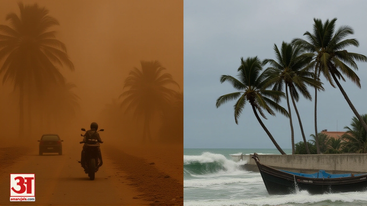
When India Meteorological Department issued its latest bulletin on May 25, 2026, the message was stark: brace for impact. Across fifteen states, residents are facing a meteorological whiplash of extreme weather. On one side of the country, violent thunderstorms and torrential rains are battering the Northeast and coastal regions. On the other, a relentless heatwave continues to scorch the plains of North and Central India.
The forecast isn't just about rain. It's about safety. The IMD has flagged "thundersqualls"—localized windstorms associated with thunderstorms—with gusts reaching 50 to 60 km/h in several areas. Meanwhile, temperatures in places like Delhi and parts of Rajasthan are expected to stay dangerously high until at least May 28.
A Tale of Two Weathers
Here’s the thing about pre-monsoon India: it’s rarely subtle. As the Southwest MonsoonArabian Sea and Bay of Bengal gains momentum, the atmospheric pressure systems are colliding. This creates a volatile mix. In the Northeast, particularly in Assam and Meghalaya, the danger level is at its peak. The IMD has issued its highest alert category here, predicting heavy to very heavy rainfall accompanied by lightning and strong winds.
But wait, it doesn’t stop there. The alert extends across a wide swath of the country. From the Himalayan foothills in Himachal Pradesh and Uttarakhand down to the southern tip in Kerala and Tamil Nadu, isolated but intense storms are expected. Dust-laden winds blowing at 40–50 km/h are warned for eastern Uttar Pradesh, Bihar, and parts of Maharashtra. It’s a chaotic pattern that keeps emergency services on edge.
The Heat That Won’t Quit
While the east sweats under humidity and rain, the north and center are baking. Turns out, the monsoon hasn’t reached these interior plains yet. The IMD confirms that severe to extremely severe heatwaves will persist in Delhi, Haryana, Punjab, western Rajasthan, Madhya Pradesh, and Vidarbha (Maharashtra) until May 28, 2026.
The numbers are grim. Earlier forecasts from mid-May showed Delhi hitting 42°C and Patna touching 41°C. With no significant temperature drop expected before the end of the week, health officials are urging caution. Heatstroke risks remain high, especially for outdoor workers and those without access to cooling. It’s a brutal contrast: while farmers in Kerala welcome the clouds, laborers in Agra are fighting for shade.

Monsoon Progress and Coastal Warnings
The broader picture involves the arrival of the Southwest Monsoon. By late May 2026, the monsoon trough has already advanced into parts of the Arabian Sea and the Bay of Bengal. Conditions are favorable for further inland movement over the next two to three days. However, this advance is uneven. It brings relief to some, but disruption to others.
For mariners, the situation is critical. Strong winds of 40–60 km/h are predicted along the Kerala-Karnataka coast, Lakshadweep, and near Comorin. Even further out, near the Somalia coast, winds could reach 55–65 km/h. The IMD has advised fishermen and small vessels to avoid venturing into these seas. The rough sea conditions pose a direct threat to lives and livelihoods in coastal communities.
What This Means for You
If you’re in an affected zone, don’t ignore the alerts. Thundersqualls can uproot trees and damage structures within minutes. In urban areas like Kolkata or Guwahati, waterlogging is likely to disrupt traffic and power supplies. For travelers, flights and trains may face delays due to poor visibility and wind shear.
In the heatwave zones, hydration is non-negotiable. Avoid outdoor activities between 12 PM and 4 PM. Keep an eye on elderly family members and children, who are most vulnerable to heat stress. The details of localized impacts are still unfolding, but preparedness is key right now.

Background: A Pattern of Extremes
This isn’t an isolated incident. Reports from earlier in May, including data from ABP Live and Down To Earth, highlighted similar volatility. On May 17, warnings were issued for 15 states regarding dust storms and heavy rain. Delhi saw temperatures spike to 43°C shortly after. The trend suggests that as climate patterns shift, the transition period between summer and monsoon is becoming more erratic and dangerous.
Historically, the pre-monsoon season sees pre-monsoon showers (known as *Kalbaisakhi* in Bengal or *Mango Showers* in Karnataka). But recent years have shown an intensification of these events. Scientists link this to warmer ocean surfaces providing more energy for storms. As we move through 2026, these trends are only becoming clearer.
Frequently Asked Questions
Which areas are under the highest danger alert?
Assam and Meghalaya are under the highest danger alert for heavy to very heavy rainfall. These regions face the risk of landslides and flash floods. Other northeastern states like Arunachal Pradesh, Nagaland, Manipur, Mizoram, and Tripura also have high-risk warnings for thunderstorms and moderate to heavy rain.
Will the heatwave break soon in Delhi and Northern India?
Not immediately. The IMD predicts that severe to extremely severe heatwaves will continue in Delhi, Haryana, Punjab, western Rajasthan, and parts of UP until May 28, 2026. Significant temperature relief is not expected until the monsoon fully penetrates these northern plains, which may take another few days.
What is a 'thundersquall' and why is it dangerous?
A thundersquall is a sudden, violent gust of wind accompanying a thunderstorm. It can reach speeds of 50–60 km/h or more. These squalls are dangerous because they strike with little warning, potentially damaging roofs, uprooting trees, and causing power outages. They often occur during the pre-monsoon season when atmospheric instability is high.
Is it safe for fishermen to go to sea?
No. The IMD has issued specific warnings for coastal areas including Kerala, Karnataka, Lakshadweep, and the Bay of Bengal. Winds are expected to blow at 40–60 km/h, creating rough sea conditions. Fishermen and operators of small vessels are strongly advised to stay in port to avoid accidents.
How does this affect travel plans?
Travelers should expect disruptions. Airports in the Northeast and coastal cities may see flight delays or cancellations due to low visibility and strong crosswinds. Road travel in hilly areas like Himachal Pradesh and Uttarakhand carries landslide risks. It is advisable to check real-time weather updates before planning any trips.